Company Name
City and Region
The Expanding Metropolis
The industrial revolution transformed urban places. Earlier cities were compact—enabling residents to defend themselves, conduct economic activities, and move food and other supplies with the available modes of transportation and technology. But by the 19th century, cities demanded more space for production, larger workforces, and more transportation facilities. These combined to push the metropolis outward and to intensify its relationship with surrounding communities.
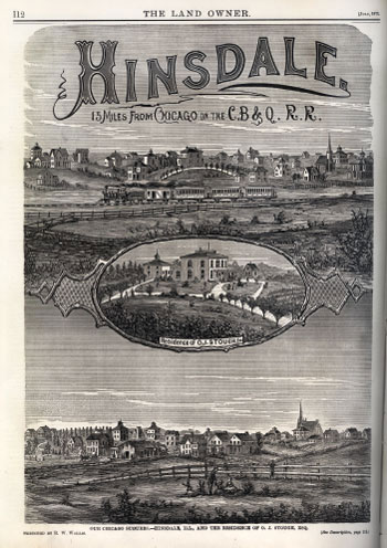
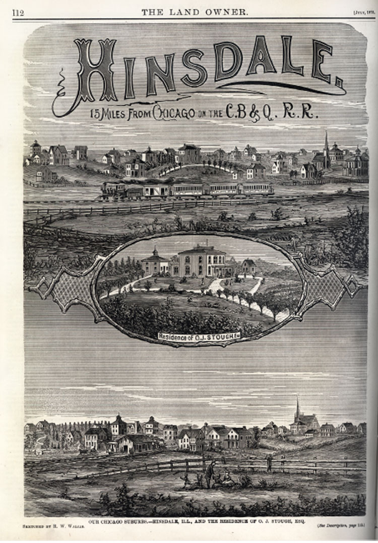
Real estate speculation and railroads fueled suburban growth in Chicago. Land companies clamored for the attention of potential residents with advertisements like the one for Hinsdale.
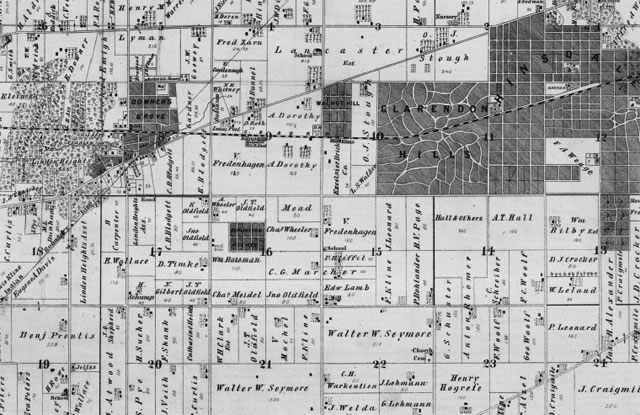
A portion of an 1874 map of Downers Grove Township shows how the 1864 extension of the Chicago, Burlington & Quincy Railroad into DuPage County stimulated the growth of new suburbs. The train route appears as a dashed line sweeping across the upper portion of the map, while the dark shaded areas show the new communities along it. The spacious gridded street pattern of Hinsdale, incorporated in 1873 (in the upper right corner of the map) contrasts with the curved streets of its neighbor Clarendon Hills, laid out in the same year. Downers Grove may be seen reaching out into the surrounding farmland at the left.