Company Name
Rerouting the Metropolis

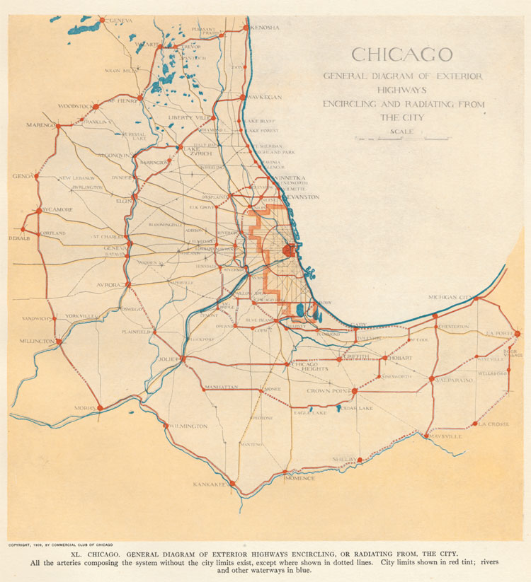
Metropolitan Highways
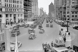
The Plan of Chicago outlined an ambitious scheme for a metropolitan highway system. Like most of their contemporaries Burnham and Bennett thought that the automobile was primarily for leisure. But they also saw its potential for local transport and commercial traffic. Most of the roads on the map at right were not new; the novelty lay in the scheme for a coherent system that improved movement around the city, between city and suburb, and suburb to suburb.
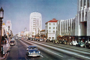
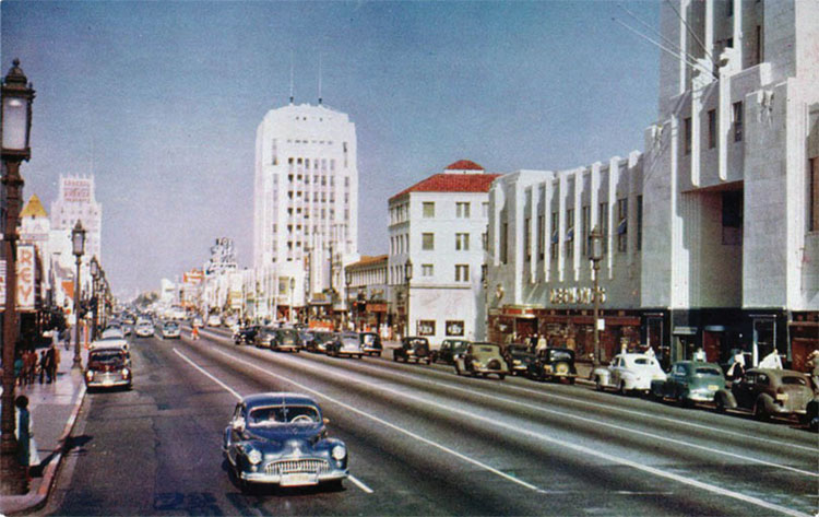
Michigan Avenue today is essentially what Burnham and Bennett envisioned: the massive double-decker bridge, opened in 1920, inspired the building of "structures of the highest class." They did not anticipate, however, that the new urban boulevard—nicknamed "the Magnificent Mile"—would lure shoppers away from the historic State Street district. Similarly, but even more dramatically, Los Angeles's "Miracle Mile" on Wilshire Boulevard contributed to the decline of its historic downtown during the 1920s and 1930s.